
Time zone CET (UTC+1) | Elevation 374 m (1,227 ft) Postal code 100400 | |
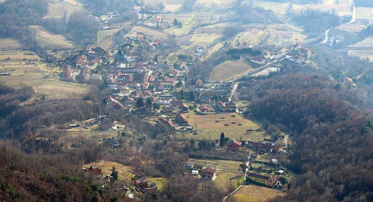 | ||
Tavernette is a frazione (neighbourhood) of Cumiana, in Piedmont, northern Italy.
Contents
Map of 10040 Tavernette, Metropolitan City of Turin, Italy
Its name comes from the latin tabernae (in English tavern or country pub).
Geography
It is a borough located in the Chisola Valley, in the easternmost part of Cottian Alps, some kilometers south-east from the centre of Cumiana. The Monte Tre Denti and Monte Freidour peaks are located nearby.
History
Since 1928 Tavernette was a separate comune (municipality); before 1801 it also encompassed the present-day municipality of Piscina, located in the Po plain.
References
Tavernette Wikipedia(Text) CC BY-SA