
Country Burma District Myingyan District Time zone MST (UTC+6.30) | Division Mandalay Township Thaungtha Township Local time Monday 6:17 PM | |
 | ||
Weather 34°C, Wind NE at 8 km/h, 22% Humidity | ||
Taungtha or Thaungtha is a town in the Mandalay Division of central Myanmar. It located south-west of the volcanic cone Mount Taungtha (1788 ft) and above the right (east) bank of the Sindewa (Sintewa) River.There are six quarters in Taungtha township. Taungtha is the administrative seat for Taungtha Township, and is on both the Taunggyi–Myingyan railway and the Meiktila–Myingyan highway. It is also on the Western Trunk Road from Kyaukpadaung to Natogyi.
Contents
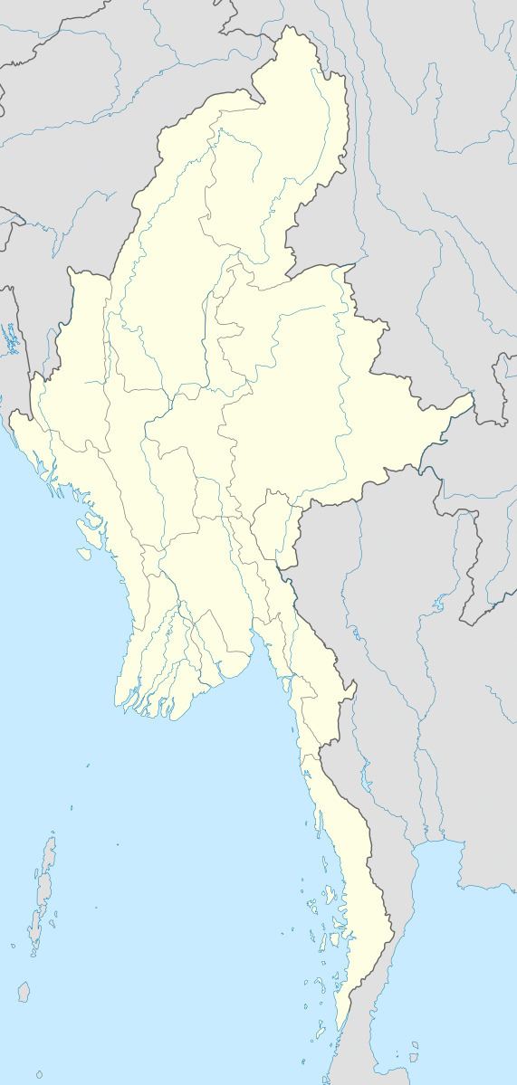
Map of Taungtha, Myanmar (Burma)
Economics
Taungtha is in the cotton growing area of Burma and the China World Best Group completed a garment factory there in 2006.
References
Taungtha Wikipedia(Text) CC BY-SA