
Local time Tuesday 12:39 AM | ||
 | ||
Weather 17°C, Wind NW at 5 km/h, 94% Humidity | ||
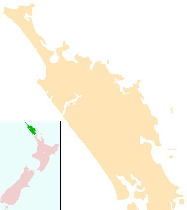
Taumarere is a locality in Northland, New Zealand. State Highway 11 runs through the area. The Waiharakeke Stream runs through Taumarere into the Bay of Islands. Kawakawa is 3 km to the southwest. Paihia is 14 km to the north.
Contents
St. Andrew's Church originally stood on the site of the Church Missionary Society's Paihia Mission Station. In 1927 the building was transported by barge and bullock waggon to its present site.
Ngapuna waiora ki taumarere ki hokianga 2011 haka exit
Railway
A bush tramway line opened between Kawakaka and Taumarere wharf on 2 March 1868 to carry coal for export. It was built to the international 1,435 mm (4 ft 8 1⁄2 in) standard gauge and motive power was provided by horses that hauled wagons along wooden rails. It was converted into a metal railway in 1870. In 1875, the government purchased the line and converted it to 1,067 mm (3 ft 6 in) gauge two years later. The line was extended to Opua in 1884 and called the Opua Branch. In 1925, it became part of the North Auckland Line. This line has since become a part of the Bay of Islands Vintage Railway, a tourist-oriented heritage railway.
Education
Te Kura Kaupapa Maori o Taumarere is a coeducational full primary (years 1-8) school with a decile rating of 1 and a roll of 49. It is a Kura Kaupapa Māori school which teaches fully in the Māori language. The school was largely destroyed in an arson attack on 23 March 2008.