
Elevation 61 m (200 ft) Area 41.91 km² Local time Monday 1:25 PM Dialling code 035601 | Municipal assoc. Peitz Time zone CET/CEST (UTC+1/+2) Population 787 (31 Dec 2008) Postal code 03185 | |
 | ||
Weather 14°C, Wind W at 8 km/h, 39% Humidity | ||
Tauer is a municipality in the district of Spree-Neiße, in Brandenburg, Germany.
Contents
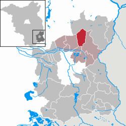
Map of Tauer, Germany
History
The area is known to have been settled as early as the Bronze Age. The first written mention was in 1632 as Tawern Tauer. In 1652, it was known as the village of Taurow.
Demography
Detailed data sources are to be found in the Wikimedia Commons.
References
Tauer Wikipedia(Text) CC BY-SA