
Airport type Private Elevation AMSL 185 ft / 56 m 2,170 661 Elevation 56 m | Owner Private Individuals 18/36 2,170 Code TAV | |
 | ||
Address American Samoa 96799, United States | ||
L n u i m y bay s n bay v ng t u vung tau airport
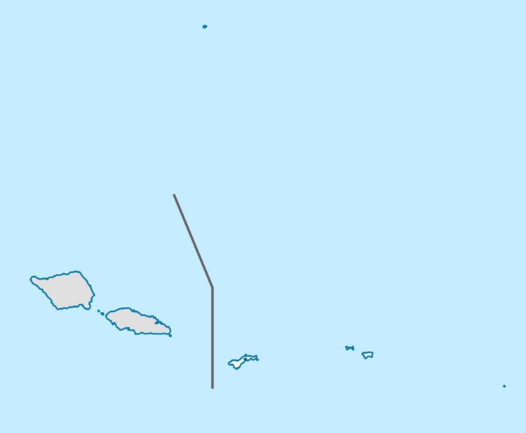
Tau Airport (IATA: TAV, FAA LID: HI36) was a privately owned, private-use airport located one mile (2 km) southeast of the village of Ta‘ū on the island of Ta‘ū in American Samoa, an unincorporated territory of the United States. The airport was located in the northwest corner of Ta‘ū island. Tau Airport is no longer active or in use since the development of Fitiuta Airport, located northeast of Tau Island. See Fitiuta Airport located in the village of Fiti‘uta on the northeast portion of the island for all private and commercial flights in and out of Tau Island.
Contents
- L n u i m y bay s n bay v ng t u vung tau airport
- My tau airport terrain
- Facilities and aircraft
- References
As of 2015 there do not appear to be any remnants of the airport shown on satellite imagery.
My tau airport terrain
Facilities and aircraft
Tau Airport previously covered an area of 4 acres (1.6 ha) and had one runway (18/36) measuring 2,170 x 100 ft (661 x 30 m). The runway surface was compacted coral in the center 50 feet (15 m), with the rest of runway composed of dirt and grass.
According to the last issued FAA data, for 12-month period ending March 8, 1989, the airport had 4,380 aircraft operations, an average of 12 per day: 67% general aviation and 33% air taxi.