Country India District East Godavari District Time zone IST (UTC+5:30) Population 8,239 (2011) | State Andhra Pradesh Talukas Gollaprolu Mandal PIN 533445 Local time Monday 2:56 PM | |
 | ||
Weather 34°C, Wind W at 8 km/h, 51% Humidity | ||
Tatiparthi is a village in Gollaprolu mandal, located in East Godavari district of the Indian state of Andhra Pradesh.
Contents
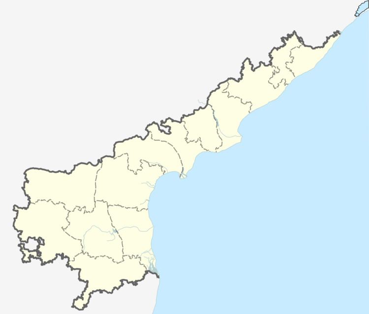
Map of Tatiparthi, Andhra Pradesh 533445
Climate
The climate is dry and moderate throughout the year. The hottest part of the year is between April to mid June with maximum temperatures around 38–42 °C (100–108 °F). The coolest part of the year is January, with minimum temperatures around 18–20 °C (64–68 °F). The city gets most of its seasonal rainfall from the south-west monsoon winds although a good deal of rains greet these parts during the northeast monsoon from mid-October to mid-December. Depressions/cyclones in the Bay of Bengal causes heavy rain falls and thunderstorms.
Transportation
Tatiparthi is located at 3 km from Chinna Jaggampeta situated on the National-Highway #5, connecting Chennai & Kolkata. It is also located 3 km from Gollaprolu, which is located on the State Highway #214, connecting Kathipudi with Pamarru. All State Transport buses stop at Gollaprolu from where one can take an auto to reach Tatiparthi. (There were APSRTC buses plying via Tatiparthi but not anymore due to under-utilization)
By Rail
The nearest railway stations to reach Tatiparthi is Gollaprolu. Only passenger trains of Indian Railways stop at this station. Major Express trains stop at Samarlakota, that is about 25 km from Tatiparthi. from both the railway stations, one can take an auto to reach Tatiparthi by road.
