
Elevation 4,725 m | ||
 | ||
First ascent 1888 Aurel Stein (1901 by C.E. Barton, Dr Ernest Neve) Easiest route North Ridge: glacier/snow/ice climb Mountain range Himalayas, Pir Panjal Range Similar Machoi Peak, Kolahoi Peak, Harmukh, Apharwat Peak | ||
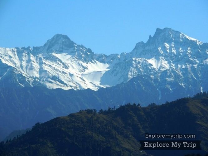
Tatakooti Peak or Tatakuti is a mountain with a peak elevation of 4,725 metres (15,502 ft), in Poonch district of Jammu and Kashmir. The highest peak of this massif is Sunset Peak at 15,568 ft (4,745 metres). Tatakooti along with Sunset Peak lies in the west of The Vale of Kashmir. It is located 40 km west of poonch town, 105 km , .in poonch it is in surankote tehsile
Mountaineering
Early exploration of the Pirpanjal Range was carried by Thomas Montgomerie and Godwin Austen in 1856. The first ascent of the summit was made in 1901 by C. E. Barton and Dr Ernest Neve, British mountaineers. They took the route via Yusmarg Konsar Nag and climbed the summit via the north face.
The massif is accessed by road, 105 km (65 mi) from Srinagar. The Mughal Road passes through the base of this mountain which lies on the right side of the road.