
Time zone WET (UTC+0) | Population 15,192 (2004) Local time Monday 9:17 AM | |
 | ||
Weather 14°C, Wind NW at 8 km/h, 29% Humidity | ||
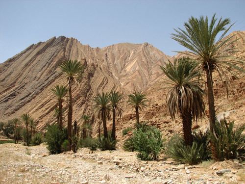
Tata (Arabic: طاطا, Berber: ⵟⴰⵟⴰ) is a town in south-western Morocco with a population of 15,192 according to the country's 2004 census. It is the largest town in Tata Province. It is situated on a desert plain of the Sahara Desert, southeast of Agadir and Taroudannt, close to the Algerian border and the mountain range Anti-Atlas at the foot of Jebel Bani. Tourists use the town as a base for excursions in the area. Tata lies on the N12 highway between to the north-east of the regional capital Guelmim and to the south of the neighboring region of Drâa-Tafilalet. It is also near to Algeria, although due to the remoteness of the area there is no border crossing.
Map of Tata, Morocco
References
Tata, Morocco Wikipedia(Text) CC BY-SA