
Administrative center selo of Tarumovka Rural localities 23 Founded 1946 | Federal subject Republic of Dagestan Selsoviets 5 Area 3,109 km² | |
 | ||
Municipally incorporated as | ||
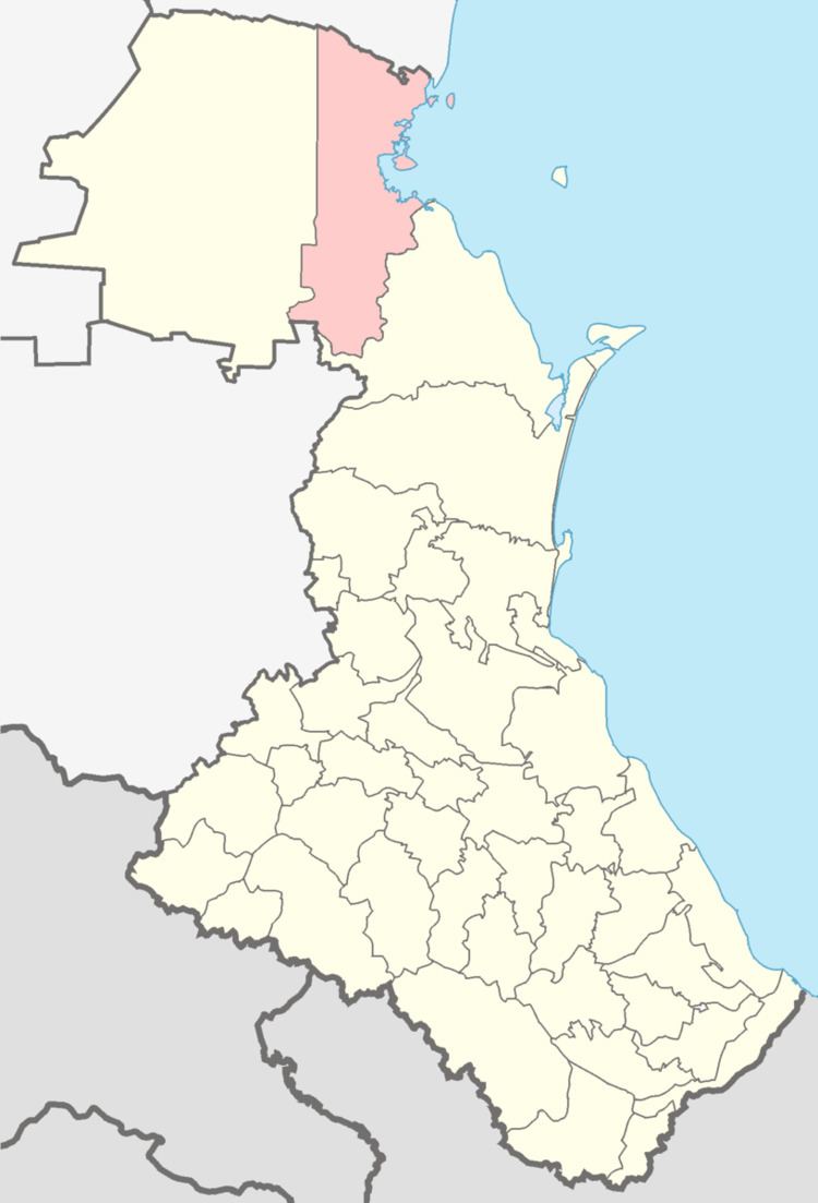
Tarumovsky District (Russian: Тару́мовский райо́н) is an administrative and municipal district (raion), one of the forty-one in the Republic of Dagestan, Russia. It is located in the north of the republic. The area of the district is 3,020 square kilometers (1,170 sq mi). Its administrative center is the rural locality (a selo) of Tarumovka. As of the 2010 Census, the total population of the district was 31,683, with the population of Tarumovka accounting for 17.0% of that number.
Contents
Map of Tarumovsky District, Dagestan Republic, Russia
Administrative and municipal status
Within the framework of administrative divisions, Tarumovsky District is one of the forty-one in the Republic of Dagestan. The district is divided into five selsoviets which comprise twenty-three rural localities. As a municipal division, the district is incorporated as Tarumovsky Municipal District. Its five selsoviets are incorporated as thirteen rural settlements within the municipal district. The selo of Tarumovka serves as the administrative center of both the administrative and municipal district.