
UBIGEO 1207 Area 2,749 km² | Elevation 3,053 m (10,016 ft) Website www.munitarma.gob.pe Region Junín Region | |
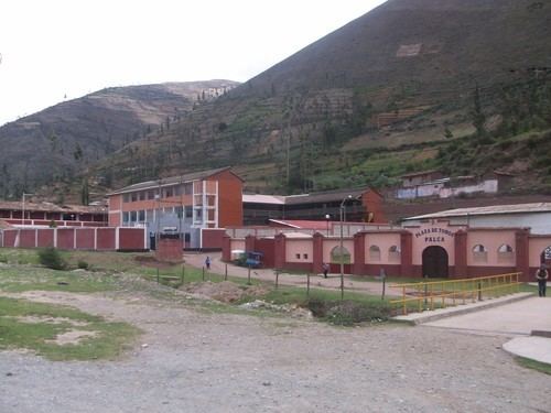 | ||
The Tarma Province is a Peruvian province, making up one of the nine provinces that conform the Junín Region. To the north it borders with the Junín Province, the east with the Chanchamayo Province, the south with the Jauja Province and the west with the Yauli Province.
Contents
Map of Tarma Province, Peru
The region has an area of 2,749.16 square kilometers (1,061.46 sq mi), which represents the 6.2% of the departmental territory. It is located in a position privileged, touristy and economic, halfway between the capital and the high forest, and point of convergence of various routes towards the central forest. The climate is temperate and mild during most of months predominates.
Geography
Some of the highest mountains of the province are listed below:
Districts
The province is divided into nine districts.