
Intercommunality Terre des Deux Caps Area 8.72 km² | Canton Marquise Population (2006) 167 Local time Monday 1:49 AM | |
 | ||
Weather 8°C, Wind E at 18 km/h, 78% Humidity | ||
Tardinghen is a commune in the Pas-de-Calais department in the Hauts-de-France region of France.
Contents
Map of 62179 Tardinghen, France
Geography
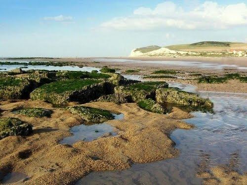
Tardinghen is situated some 19 kilometres (12 mi) north of Boulogne, at the junction of the D249 and D940 roads, on Cape Gris-Nez. Parts of the coastline, forming the northern border of the commune, have receded inland at about 5 metres (5 1⁄2 yd) per year.
Places of interest
References
Tardinghen Wikipedia(Text) CC BY-SA