
OS grid reference NN 31837 04578 Postcode district G83 Local time Monday 12:35 AM | Post town ARROCHAR Dialling code 01301 | |
 | ||
Weather 8°C, Wind E at 11 km/h, 82% Humidity Lieutenancy areas | ||
Tarbet (Scottish Gaelic: An Tairbeart, in full Tairbeart Loch Laomainn) is a small village in Argyll and Bute, Scotland. Located within the Loch Lomond and The Trossachs National Park.
Map of Tarbet, Arrochar, UK
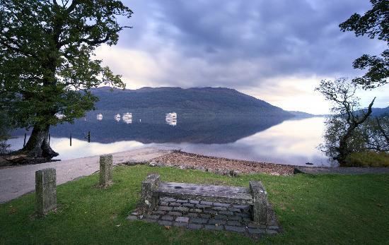
Traditionally on the northern fringes of the historic County of Dunbartonshire, it is on the banks of Loch Lomond, and has a pier. It stands on an isthmus where Loch Long and Loch Lomond come close. The village of Arrochar stands at the head of Loch Long, at the other side of the isthmus. Arrochar and Tarbet railway station, on the West Highland Line, stands between the two villages. The village has a primary school (Arrochar Primary School), many hotels and bed and breakfasts, and a Tourist Information Centre.
Its name comes from the Scottish Gaelic word for isthmus, although Tarbert is the more common anglicization, and Tarbat also exists.
The village is formed around the junction of the A82 (Glasgow/Inverness) and A83 (Tarbert/Campbeltown).
The area around Arrochar and Tarbet has become the scene of "squirrel wars". The red squirrel is resisting the offensive by the grey squirrel taking place across United Kingdom, since there is a type of woodland they find more favourable than most. Tarbet contains the Tarbet Hotel.