
Country Brazil Demonym tarauacaense Postal code 69970 Elevation 168 m Local time Sunday 6:15 PM Number of airports 1 | State Acre Founded January 1, 1907 Area code(s) 55-68 Area 15,553 km² Population 36,763 (2012) | |
 | ||
Weather 26°C, Wind N at 5 km/h, 86% Humidity | ||
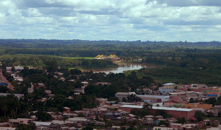
Tarauacá is a municipality located in the northwest of the Brazilian state of Acre. Tarauacá has a population of 35,526 people and has an area 20,171 square kilometers (7,788 sq mi).
Contents
Map of Tarauac%C3%A1 - State of Acre, Brazil
Conservation
The municipality contains 38% of the Alto Tarauacá Extractive Reserve, created in 2000. It contains the 216,062 hectares (533,900 acres) Rio Gregório State Forest, a sustainable use conservation unit created in 2004. It also contains the 143,897 hectares (355,580 acres) Mogno State Forest and the 126,360 hectares (312,200 acres) Rio Liberdade State Forest, two other sustainable use units created on the same date.
Transportation
Tarauacá is served by José Galera dos Santos Airport.
References
Tarauacá Wikipedia(Text) CC BY-SA