Area 84,949 km² | Time zone BRT (UTC−4) Local time Sunday 2:56 PM | |
 | ||
Weather 27°C, Wind N at 8 km/h, 82% Humidity | ||
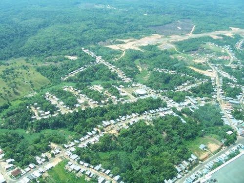
Tapauá is a municipality located in the Brazilian state of Amazonas. Its population was 17,693 (2005) and its area is 89,324 km², making it the third largest municipality in Amazonas and the fifth largest in Brazil.
Contents
Map of Tapau%C3%A1 - State of Amazonas, Brazil
Conservation
The municipality contains the 233,864 hectares (577,890 acres) Abufari Biological Reserve, a strictly protected area. It contains 30.35% of the 1,008,167 hectares (2,491,230 acres) Piagaçu-Purus Sustainable Development Reserve, established in 2003. The municipality contains about 9% of the Balata-Tufari National Forest, a 1,079,670 hectares (2,667,900 acres) sustainable use conservation unit created in 2005. The municipality also contains about 94% of the Nascentes do Lago Jari National Park, an 812,745 hectares (2,008,340 acres) protected area established in 2008. It contains 0.33% of the 604,209 hectares (1,493,030 acres) Médio Purus Extractive Reserve, created in 2008. It contains 98% of the 881,704 hectares (2,178,740 acres) Tapauá State Forest, created in 2009.
