
Area 442.2 km² Local time Sunday 12:47 PM | Population 16,057 (2005) | |
 | ||
Time zone Central Standard Time (UTC-6) Weather 18°C, Wind S at 11 km/h, 38% Humidity | ||
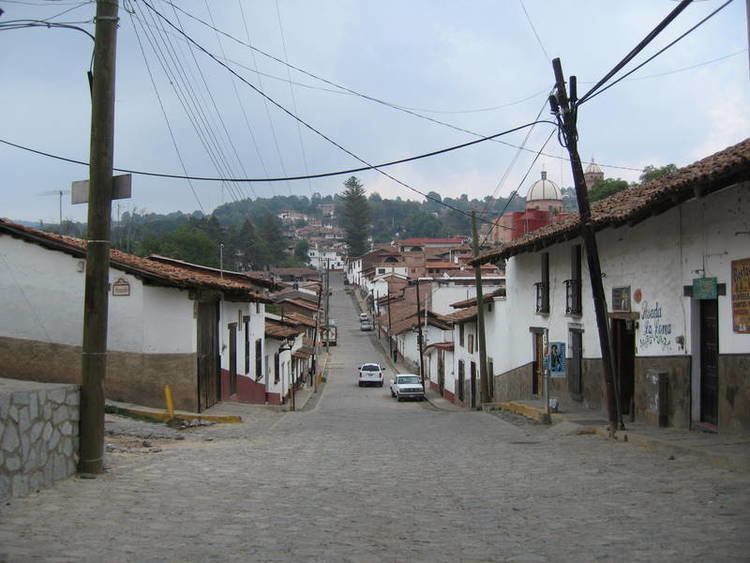
Pueblo magico tapalpa jalisco mexico aug 2016
Tapalpa ( [tapa'lpa] ) is a town and municipality, in Jalisco state of central-western Mexico.
Contents
- Pueblo magico tapalpa jalisco mexico aug 2016
- Map of Tapalpa Jalisco Mexico
- Tapalpa mexico day 2 ylvis
- Geography
- Tourism
- References
Map of Tapalpa, Jalisco, Mexico
Tapalpa mexico day 2 ylvis
Geography
The municipality covers an area of 442.15 km².
As of 2005, the municipality had a total population of 16,057.
Tourism
Tapalpa is a designated Pueblo Mágico.
Tapalpa is a mountain town surrounded by pine forests. The area is famous for the "Piedras Bolas" large (20 feet high) rocks found just outside the town limits.
The area is a popular weekend destination for residents of nearby Guadalajara. There are many excellent outdoor restaurants that specialize in grilled meats.
References
Tapalpa Wikipedia(Text) CC BY-SA