
Country University TecMilenio University, Tapachula Area 117 sq mi | State Mayor Samuel Alexis Chacon Morales | |
Tapachula is a city and municipality located in the far southwest of the state of Chiapas in Mexico, near the Guatemalan border and the Pacific Ocean. It is one of the most important cities of Chiapas economically as the capital of the agriculturally rich Soconusco region as well as port for trade between Mexico and Central America. The area was originally inhabited by the Mame-Maya as a region under the control of the Mame state of Xelaju but was first established as a city by the Aztecs in the 13th century. Most of its economic importance has come since the late 19th century with the establishment of coffee plantations. This agricultural production began a history of migration into the area which continues to this day and has left the city with a significant Asian and German cultural presence as well as large Mayan and Nahua indigenous populations.
Contents
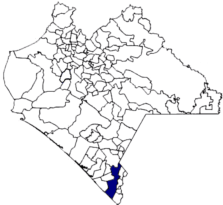
- Map of Tapachula
- Somewhere near tapachula teaser trailer
- Mini skate clasico tapachula
- History
- Geography and environment
- Economy
- References
Map of Tapachula
Somewhere near tapachula teaser trailer
Mini skate clasico tapachula
History
The name comes from the Nahuatl phrase “Tapachollan” which means” between the waters.” The official name of the city was changed to Tapachula de Cordova y Ordonezin 1997 to honor a Brother Matias de Cordova y Ordonez.
The first people to settle in the area migrated from the south in Central America and most likely are the ancestors of today’s Mame people. The Olmecs conquered the area, driving many Mames to migrate back south. The Toltecs arrived next but never completely subjugated the native peoples. However, these conquests resulted in the Mames never developing major civilization.The city of Tapachula was founded as a tribute collection center for the Aztecs in1486 by a military leader named Tiltototl, sent by Ahuziotl to conquer the Soconusco.
After the Spanish conquest, Tapachula was part of the Soconusco region, known for its then production of cacao. This region was larger than it is today, with the very south of the old extension now part of Guatemala. As such, Tapachula became a border area, first among the Spanish colonial authorities of New Spain, Chiapas and the Captaincy General of Guatemala. For example, when the Diocese of Chiapas was created in 1539, it included the Tapachula area. However, the Soconusco region had political differences with all of these authorities at one time or another. Tapachula became the capital of Soconusco region in 1794, replacing Escuintla. In 1809, shortly before the start of the Mexican War of Independence, Tapachula protested the high rate of taxation to Spanish authorities to no avail. During the war, it was officially declared a town in 1813, and a parish in 1818, with the San Agustin parish church established in 1819. At the end of the war, Tapachula, as capital of the Soconusco, declared its own independence from Spain and Guatemala in 1821, and away from Mexico in 1824. However, for most of the rest of the 19th century, the Soconusco would be disputed territory between Mexico (as part of Chiapas) and Guatemala, until a final border was drawn between the two countries in 1888. In the meantime, Mexican president Antonio Lopez de Santa Anna declared Tapachula a city as he fought to force the region back under Mexican control. The city was occupied by French troops during the French Intervention in Mexico until 1865 when they were expelled by Sebastian Escobar.
The current municipality was created in 1915, with Tapachula as the governing entity. It was declared the provisional capital of Chiapas by forces loyal to Victoriano Huerta in 1924.
The first air route to the city was established in 1929, connecting it with Tuxtla Gutierrez and Mexico City.
Tapachula became a diocese separate from Chiapas in 1957 covering the entire Chiapas coast area.
It was reaffirmed as the capital of the Soconusco region in 1983.
In 1984, a coat of arms was chosen for the city, designed by Edgar Jose Cabrera Arriaga.
The growth of the city and its economy has presented problems in the early 21st century. The city during this time has grown outward, surrounding industrial structures such as petroleum storage facilities belonging to PEMEX and a terminal of the Chiapas-Mayab railroad. This raised questions of safety until both were moved further outside of the city limits in 2011.
Geography and environment
The municipality stretches over a section of the Sierra Madre de Chiapas and west onto the coastal plain to the Pacific with an average altitude of 170 meters above sea level. The main ecosystems in the municipality include low growth rainforest, medium growth rainforest and holm oak-pine forests. Many of these forest areas have been over exploited with significant loss of both plant and animal life. Ecological reserves include El Cabildo-Amatan, El Gancho-Murillo and part of the Tacana Volcano.
The climate varies by altitude from hot in the low coastal areas to temperate in the higher elevations. There is a small area with a cold climate as part of the Tacana Volcano. Precipitation also varies by altitude. The climate of the city area is hot and humid most of the year. The area is one of the rainiest in the world with annual rainfall of about 3,900mm drained by a number of rivers and streams that flow from the Sierra Madre de Chiapas over the coastal plain to the Pacific Ocean. The main rivers are the Huehuetan, the Coatan and the Cuilco. There are eighty-two communities considered to be at high risk to natural disasters due to flooding of rivers and insufficient roadways to evacuate. Fifty-two of these located on riverbanks of three rivers: Coatan, Texcuyuapan and Cahoacan. Much of the flood control of the area was damaged or destroyed by Hurricane Stan in 2005.
Economy
The municipality is considered to have a medium level of socioeconomic marginalization. As of 2000, there were 61,444 residences, of which over 72% were the property of the residents. The average household size was 4.36 inhabitants. About one quarter of the homes have dirt floors, thirteen percent have wood floors and about sixty two with cement or stone floors. Walls generally consist of cement block with about fourteen percent having wood walls. About sixty percent of the roofs are made with metal/asbestos laminate.