
Country Malaysia Local time Sunday 5:39 PM | ||
 | ||
Weather 30°C, Wind NE at 11 km/h, 76% Humidity | ||
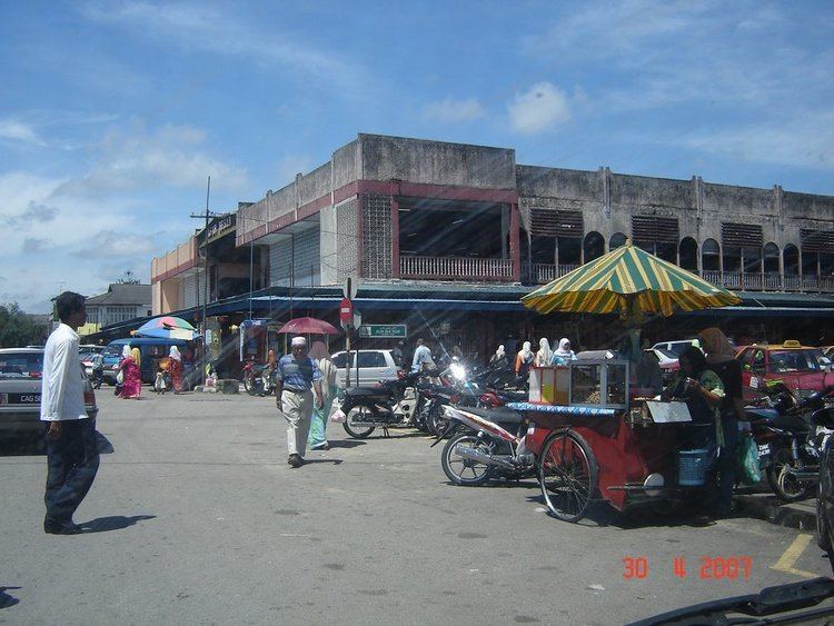
Tanah Merah (meaning Red Land or Laterite, Chinese: 丹那美拉) is a territory (jajahan), a parliamentary constituency and a town in the state of Kelantan in northeast Malaysia. The urban area of Tanah Merah is situated along the Kelantan River. It is bordered by Pasir Mas in the north, Machang to the East, Kuala Krai to the South East, Jeli to the South West and Thailand in the West.
Contents
Map of Tanah Merah, Kelantan, Malaysia
Historically it used to be a capital of a kingdom called Chi Tu. Chinese Sui Dynasty annals of the 7th century describe an advanced kingdom called Chi Tu ("Red Earth") in the area now called Kelantan. The ancient name for Kelantan was "Raktamrittika", meaning "Red Earth" — this was later changed to "Sri Wijaya Mala".
Education
See Also: List of schools in Malaysia
Several types of school can be found in Tanah Merah. Among the schools in Tanah Merah are
Demographics
The total population in 2009 was about 130,000, the majority being Malays, with a small Chinese and Indian population. Immigrants, mostly from neighbouring Thailand, also make up a part of the population.
Most of the population be distributed among various villages (or "kampung" in Malay) and suburb areas, while only a small proportion is located in the town.
Tanah Merah used to be a small town, but has seen major changes in the last decade when the younger generation started to migrate to cities along the Malaysian west coast for jobs with higher pay. Money sent back to their families has catalysed the growth, expansion and development of the town.
Ranking Population Jajahan Tanah Merah.
Geography
The landscape of Tanah Merah is greatly influenced by the Kelantan River (Malay: Sungai Kelantan) which supplies much needed water to its agricultural plantations. Mt. Kemahang (876 m or 2,874 ft) and Mt. Kusial (723 m or 2,372 ft) are both located in the western part of Tanah Merah.
Transportation
Highway 4 is the main highway serving the constituency. Highway 129 is a shortcut to Pasir Mas.
KTM Intercity has a station in Tanah Merah town.