Mission type Radar Imaging COSPAR ID 2010-030A Launch date 21 June 2010 Speed on orbit 7.5 km/s Cost 165 million EUR (2010) | Operator DLR Website Home Orbit height 514 km Manufacturer EADS Astrium Satellites | |
 | ||
Similar TerraSAR‑X, Mars Express, Radarsat‑1, Advanced Land Observati, Radarsat‑2 | ||
Launch tandem x 21 june 2010
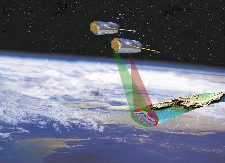
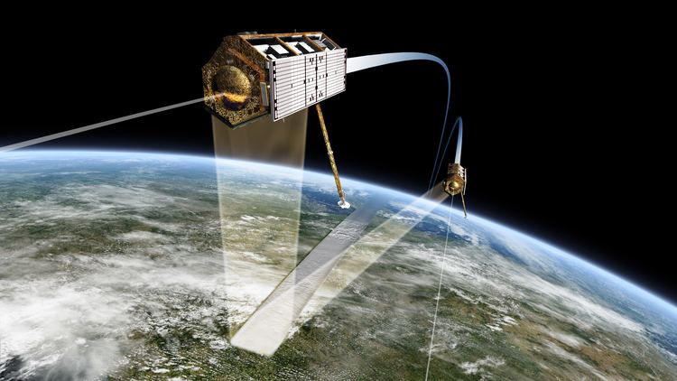
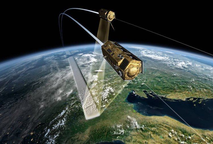
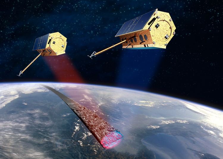
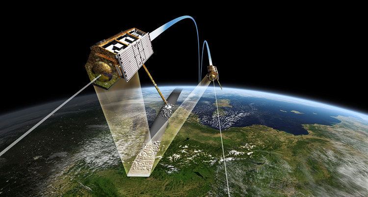
TanDEM-X (TerraSAR-X add-on for Digital Elevation Measurement) is the name of TerraSAR-X's twin satellite, a German Earth observation satellite using SAR (Synthetic Aperture Radar) - a modern radar imaging technology. Implemented in a Public-Private-Partnership between the German Aerospace centre (DLR) and EADS Astrium (now Airbus Defence and Space), it is a second, almost identical spacecraft to TerraSAR-X. TanDEM-X is also the name of the satellite mission flying the two satellites in a closely controlled formation with typical distances between 250 and 500 m. This unique twin satellite constellation will allow the generation of the WorldDEM™, the seamless global digital elevation models available from 2014.
Contents
Creating tandem x satellite from terrasar x savoir
Mission
The primary mission objective is the generation of WorldDEM, a consistent global Digital Elevation Model (DEM) with an unprecedented accuracy according to better than DTED Level 2 specifications. WorldDEM resolution will correspond to DTED Level 3 (post spacing of better than 12 meters) and a height accuracy of better than 2m (relative)- a standard not yet defined. Digital Elevation Models of posting better than DTED Level 2 are often called HRTI (High Resolution Terrain Information) DEM.
WorldDEM™
With an unprecedented accuracy, coverage and quality, WorldDEM is a consistent DEM of the Earth’s entire land surface, acquired and generated within three years after launch. Available from 2014, WorldDEM is to feature a vertical accuracy of 2m (relative) and 4m (absolute), within a horizontal raster of approximately 12x12 square meters, slightly varying depending on the geographic latitude. Infoterra GmbH, a 100% subsidiary of Astrium, holds the exclusive commercial marketing rights for the WorldDEM™ and is responsible for the adaptation of the elevation model to the needs of commercial users worldwide. Accuracy over forested areas is unknown at this time however.
First 3D Image

Researchers at the German Aerospace Center facility in Oberpfaffenhofen published the first 3D images from the TanDEM-X satellite mission. A group of Russian islands of the Severnaya Zemlya group in the Arctic Ocean was selected for the first test.