
Country India District Adilabad PIN 504312 Elevation 293 m | State Telangana Time zone IST (UTC+5:30) Vehicle registration TS-01 Local time Sunday 1:44 PM | |
 | ||
Weather 40°C, Wind N at 11 km/h, 15% Humidity | ||
Tamsi by agipo
Tamsi is a village and a Mandal in Adilabad district in the state of Telangana in south India.
Contents
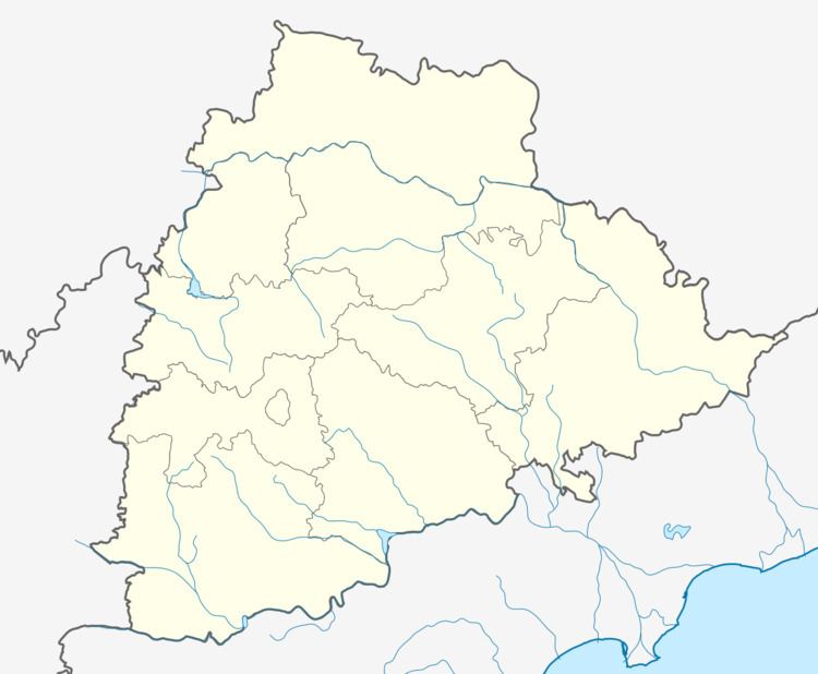
Map of Tamsi, Telangana 504312
Geography
Tamsi is located at 19.6833°N 78.4167°E / 19.6833; 78.4167. It has an average elevation of 293 meters (964 feet).
Demographics
According to Indian census, 2001, the demographic details of Tamsi mandal is as follows:
Tamsi village has a population of 2,925 (B) and 899 (K) in 2001.
Villages
The villages in Tamsi mandal includes: Andarbandh, Antargaon, Arli, Bandal Nagpur, Belsari Rampur, Bheempoor, Dhanora, Ghotkuri, Girigaon, Gomutri, Gona, Hasnapur, Jamidi, Karanji, Khapperla, Nippani, Pippalkoti, Ponnari, Tamsi, Waddadi, Wadgaon and Wadoor.
References
Tamsi Wikipedia(Text) CC BY-SA