
Country Thailand Time zone THA (UTC+7) Geocode 9304 Population 27,982 (2005) | Seat Mae Khari Postal code 93160 Area 264.3 km² Province Phatthalung Province | |
 | ||
Tamot (Thai: ตะโหมด, [tā.mòːt]) is a district (Amphoe) of Phatthalung Province, southern Thailand.
Contents
Map of Tamot District, Phatthalung, Thailand
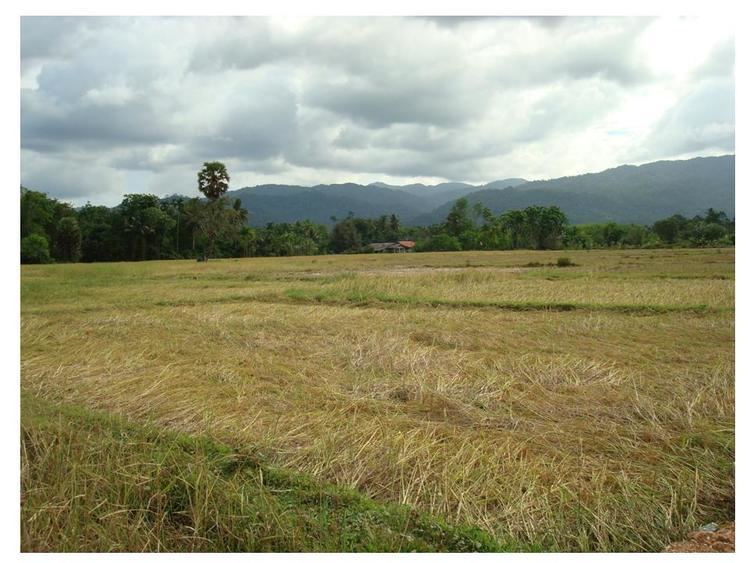
Geography
Neighboring districts are (from the north clockwise) Kong Ra, Khao Chaison, Bang Kaeo and Pa Bon of Phatthalung Province, Palian of Trang Province.
History
The district was established on August 1, 1977, when it was split off from Khao Chaison district. It was upgraded to a full district on March 20, 1986.
Administration
The district is subdivided into 3 subdistricts (tambon), which are further subdivided into 33 villages (muban). There are two townships (thesaban tambon) - Tamot covers parts of tambon Tamot and Khlong Yai, and Mae Khari parts of the same-named tambon. There are further 3 Tambon administrative organizations (TAO).
References
Tamot District Wikipedia(Text) CC BY-SA