
Country Algeria Elevation 240 m (790 ft) Local time Sunday 6:37 AM | Time zone CET (UTC+1) Population 9,481 (2008) | |
 | ||
Weather 21°C, Wind W at 14 km/h, 19% Humidity | ||
Tamentit (تامنطيت) (sometimes spelled Tamantit) is a town and commune or municipality in Fenoughil District of Adrar Province, in south-central Algeria. According to the 2008 census it has a population of 9,481, up from 7,912 in 1998, with an annual growth rate of 1.9%.
Contents
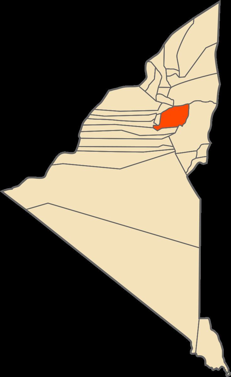
Map of Tamentit, Algeria
Until the late twentieth century the people of Tamentit spoke Taznatit Berber.
Geography
The villages of Tamentit are located near oases that are part of the Tuat region in northern Adrar Province, between the communes of Adrar to the north and Fenoughil to the south. The rocky Tademaït plateau rises far to the east, while the sandy Erg Iguidi and Erg Chech deserts lie to the west.
The Tamentit iron meteorite was found nearby in 1864.
Climate
Tamentit has a hot desert climate (Köppen climate classification BWh), with extremely hot summers and mild winters, and very little precipitation throughout the year.
Transportation
Tamentit is on the N6 national highway, which leads north to Adrar and south to Fenoughil commune and eventually Reggane. The village of Bouffaddi lies on the highway to the south of Tamentit, while the other villages of the commune are to the east of the highway, and are connected to it by local roads.
Education
5.9% of the population has a tertiary education, and another 17.9% has completed secondary education. The overall literacy rate is 75.6%, and is 85.9% among males and 65.2% among females.
Localities
As of 1984, the commune was composed of seven localities: