3-digit postal code prefix 850 Local time Sunday 6:26 AM | Time zone WAT (UTC+1) Area 1,717 km² | |
 | ||
Weather 27°C, Wind E at 8 km/h, 16% Humidity | ||
Tambuwal decries widespread corruption across nigeria
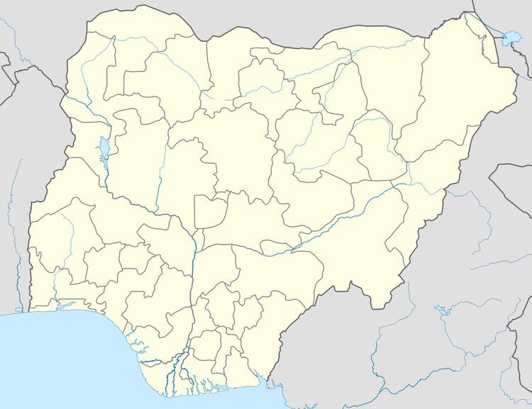
Tambuwal is a Local Government Area in Sokoto State, Nigeria. Its headquarters are in the town of Tambuwal (or Tambawal or Tambawel) on the A1 highway at 12°24′00″N 4°40′00″E.
Contents
- Tambuwal decries widespread corruption across nigeria
- Video tambuwal other reps barred from entering national assembly by police
- References
It has an area of 1,717 km² and a population of 224,931 at the 2006 census.
The postal code of the area is 850.
Video tambuwal other reps barred from entering national assembly by police
References
Tambuwal Wikipedia(Text) CC BY-SA
