
Postal code 45004 Local time Sunday 2:11 AM | Time zone UTC -3 Dial plan +598 463 (+5 digits) Population 1,561 (2011) | |
 | ||
Weather 18°C, Wind E at 14 km/h, 91% Humidity | ||
Tambores is a small town partly in the Paysandú Department and partly in the Tacuarembó Department of western Uruguay.
Contents
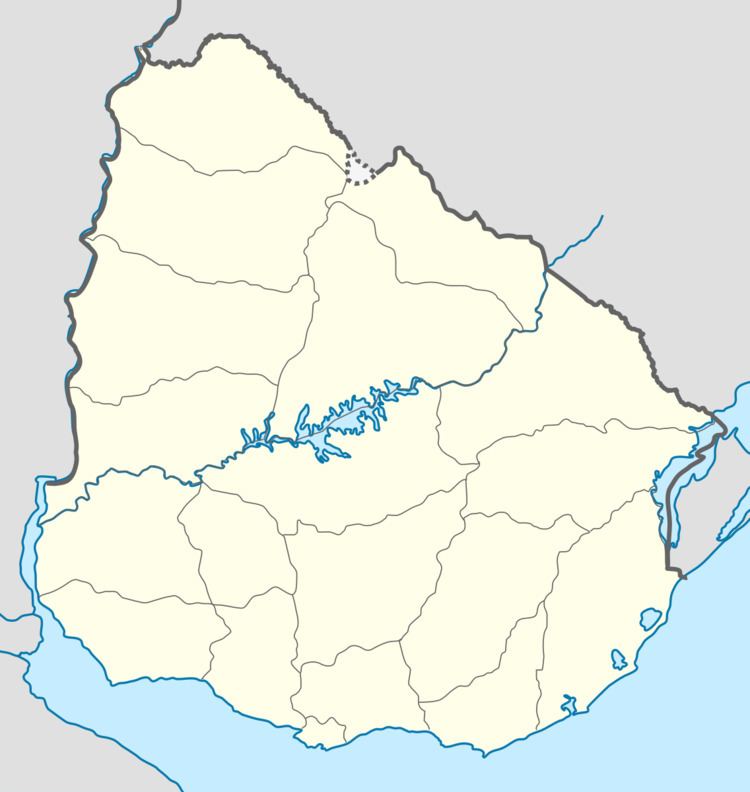
Map of Tambores, Paysand%C3%BA Department, Uruguay
Location
It is located on both sides of the interdepartmental road which forms the border between the two departments, 8 kilometres (5.0 mi) south of its intersection with Route 26, which lies 33 kilometres (21 mi) southwest of Tacuarembó, the capital city of the department. The railroad track Montevideo - Tacuarembó - Rivera passes through the town.
History
On 21 August 1936, the existing populated nucleus here was elevated to "Pueblo" (village) by the Act of Ley N° 9.588. Until then, it had been head of the judicial section of "Salsipuedes". Its status was further elevated to "Villa" (town) on 15 October 1963 by the Act of Ley N° 13.167.
Population
In 2011 Tambores had a population of 1,561, of which 1,111 in Paysandú and 450 in Tacuarembó.
Source: Instituto Nacional de Estadística de Uruguay