
Population 345 (2006 census) Postcode(s) 4478 Postal code 4478 | Established 1863 Elevation 395 m Local time Sunday 3:04 PM | |
 | ||
Location 862 km (536 mi) NW of Brisbane201 km (125 mi) N of Charleville101 km (63 mi) SW of Blackall Weather 36°C, Wind SE at 24 km/h, 22% Humidity | ||
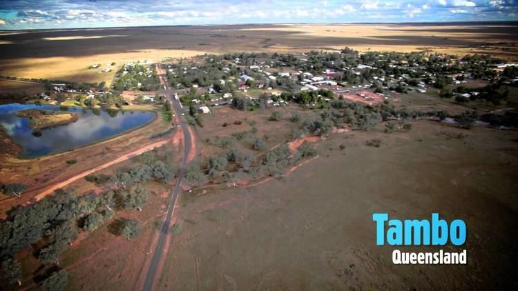
Tambo is a town located in Central West Queensland, Australia, on the banks of the Barcoo River. Tambo is 101 kilometres (63 mi) southeast of the town of Blackall via the Landsborough Highway, and approximately 862 kilometres (536 mi) north west of the state capital, Brisbane. At the 2006 census, Tambo had a population of 345.
Contents
- Map of Tambo QLD 4478 Australia
- Indigenous
- European exploration and settlement
- Recent events
- Geography and Climate
- Heritage
- Heritage listings
- Economy and services
- Governance
- References
Map of Tambo QLD 4478, Australia
The town was settled in 1863, making it the oldest town in western Queensland. Like much of the west, sheep became the mainstay of the economy. The town takes its name from an Indigenous Australian word, meaning "hidden place", or, "resting place, fish, shady waters, hidden waters, a secluded spot, hidden place and native yam."
Today, cattle and tourism are of major importance to the town. A number of heritage buildings survive from the earliest days of settlement. The Carnarvon National Park (Salvator Rosa section) lies to the east of the town.
Indigenous
The area on which the town of Tambo now sits was home of many different Aboriginal groups including the Wadjaling, Wadjalad, Wadjabangai, and Pitjara.
European exploration and settlement
The first European exploration of the district was by Sir Thomas Mitchell, popularly known as "Major Mitchell", in 1846. Tambo was originally known as Carrangarra. The settlement was renamed Tambo in 1868. For approximately the next 15 years the area was unused until selectors began taking land in 1861. The town was founded in 1863.
A branch of the Queensland National Bank was first established in 1875.
Tambo was the location of QANTAS's first fatal accident. An Airco DH.9 crashed on 24 March 1927 with the loss of three lives after the plane stalled while landing.
Recent events
Tambo was cut off for eight days during the February 2012 Queensland floods.
Geography and Climate
The Barcoo River runs through the town and sits near the Grey Range – part of the "Roof of Queensland" section of the Great Dividing Range.
The Landsborough Highway—part of the National Highway network linking Brisbane and Darwin—passes through Tambo. Tambo is also connected to Alpha by the Dawson Development Road.
In the 2006 census, Tambo had a population of 345, a small decline from the 2001 census population of 357. Around 7% of the population of Tambo identity as Aboriginal or Torres Strait Islander and around 6% were born outside Australia.
Temperatures in Tambo range from 35 °C in summer to 21 °C in winter. Minimum temperatures in winter often drop below freezing. The average annual rainfall is 535.7 mm (21.0 in), the majority of which falls between December and March.
Heritage
The "Tambo Heritage Trail" includes 17 buildings within the town's precinct of historical importance. They include:
Heritage listings
Tambo has a number of heritage-listed sites, including:
Economy and services
Post service, telegraph.
Tambo Visitor Information Centre is located in the heritage listed historical Courthouse. The Tambo Visitor Information Centre also contains the towns public library. The Courthouse was built in 1888.
Tambo is also famous for its Tambo Teddy Workshop, set up by 3 local women in 1992 to help promote the wool industry after years of drought had cause wool prices to fall.
The chief industries of the town and district are grazing properties for sheep and cattle. There was a sawmill which closed in 2011.
Tambo State School opened on 28 February 1876 and caters for students in years P-10. Distance education services are provided for students in years 11 and 12.
Governance
Until 2008, Tambo was the administrative centre of the Shire of Tambo. In 2008, as part of the Queensland Government's amalgamation of local government areas, the Shire of Tambo was abolished and Tambo is now a part of the Blackall-Tambo Regional Council.