
Country United States County Aitkin FIPS code 27-64156 Elevation 386 m Zip code 55787 Population 91 (2013) | Time zone Central (CST) (UTC-6) GNIS feature ID 0652995 Area 9.27 km² Local time Saturday 11:13 PM Area code 218 | |
 | ||
Weather -1°C, Wind E at 14 km/h, 95% Humidity | ||
Tamarack is a city in Aitkin County, Minnesota, United States. The population was 94 at the 2010 census.
Contents
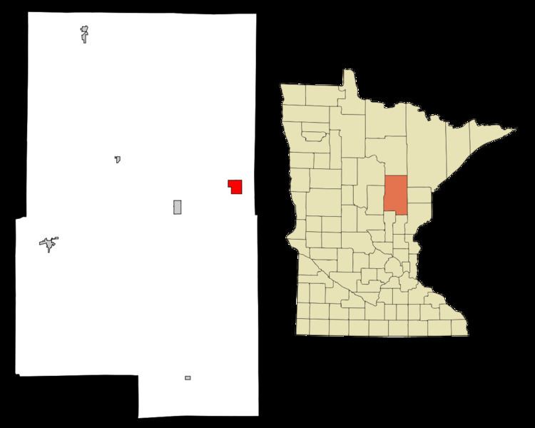
Map of Tamarack, MN, USA
Tamarack is located along Minnesota State Highway 210 at the junction with Aitkin County Roads 6 and 16. Other routes include Main Street.
History
Tamarack was first settled circa 1874. The post office began in 1898. Tamarack was incorporated in 1921. The community was established when the Northern Pacific Railway laid track from Duluth to Brainerd.
Geography
According to the United States Census Bureau, the city has a total area of 3.58 square miles (9.27 km2), all of it land.
2010 census
As of the census of 2010, there were 94 people, 40 households, and 23 families residing in the city. The population density was 26.3 inhabitants per square mile (10.2/km2). There were 49 housing units at an average density of 13.7 per square mile (5.3/km2). The racial makeup of the city was 97.9% White, 1.1% Native American, and 1.1% from two or more races.
There were 40 households of which 27.5% had children under the age of 18 living with them, 45.0% were married couples living together, 2.5% had a female householder with no husband present, 10.0% had a male householder with no wife present, and 42.5% were non-families. 37.5% of all households were made up of individuals and 15% had someone living alone who was 65 years of age or older. The average household size was 2.35 and the average family size was 2.83.
The median age in the city was 36.4 years. 27.7% of residents were under the age of 18; 4.3% were between the ages of 18 and 24; 28.7% were from 25 to 44; 23.4% were from 45 to 64; and 16% were 65 years of age or older. The gender makeup of the city was 53.2% male and 46.8% female.
2000 census
As of the census of 2000, there were 59 people, 30 households, and 18 families residing in the city. The population density was 16.4 people per square mile (6.3/km²). There were 48 housing units at an average density of 13.3 per square mile (5.1/km²). The racial makeup of the city was 93.22% White, 1.69% African American, and 5.08% from two or more races. 29.8% were of Norwegian, 21.1% Finnish, 19.3% Irish, 8.8% Polish, 8.8% Swedish, 7.0% German and 5.3% Scottish ancestry according to Census 2000.
There were 30 households out of which 23.3% had children under the age of 18 living with them, 43.3% were married couples living together, 13.3% had a female householder with no husband present, and 40.0% were non-families. 40.0% of all households were made up of individuals and 16.7% had someone living alone who was 65 years of age or older. The average household size was 1.97 and the average family size was 2.56.
In the city, the population was spread out with 20.3% under the age of 18, 3.4% from 18 to 24, 22.0% from 25 to 44, 33.9% from 45 to 64, and 20.3% who were 65 years of age or older. The median age was 49 years. For every 100 females there were 110.7 males. For every 100 females age 18 and over, there were 113.6 males.
The median income for a household in the city was $20,625, and the median income for a family was $21,875. Males had a median income of $22,083 versus $7,083 for females. The per capita income for the city was $35,197. There were 8.7% of families and 10.6% of the population living below the poverty line, including no under eighteens and 13.6% of those over 64.