Country United States County Calaveras County Local time Saturday 9:12 PM | Elevation 2,107 m | |
 | ||
Weather 0°C, Wind N at 0 km/h, 97% Humidity | ||
Tamarack, formerly known as Camp Tamarack, is an unincorporated community in Calaveras County, California, in the United States. It was founded in the 1920s. A nearby weather station, located across the Alpine County line, has been the site of several United States meteorological records.
Contents
Map of Tamarack, CA 95223, USA
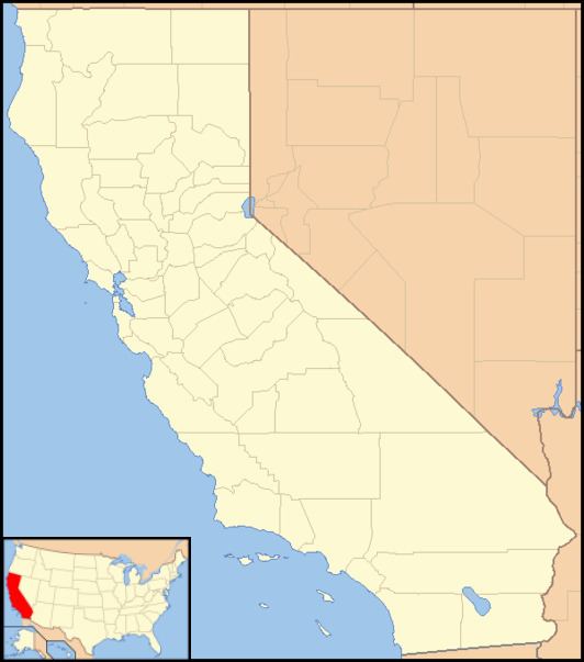
Tamarack is located at an elevation of 6,913 feet (2,107 m), on the west slope of the Sierra Nevada near Bear Valley and south of South Lake Tahoe.
Climate
The greatest snow depth ever recorded in North America was recorded in Tamarack: in January 1911, 390 inches (990.6 cm) of snow fell, leading to a snow depth in March of 451 inches (1,145.5 cm). Tamarack also holds the record for greatest seasonal snowfall in California: during the winter of 1906−1907, it received 883 or 884 inches (2,242.8 or 2,245.4 cm) of snow.
