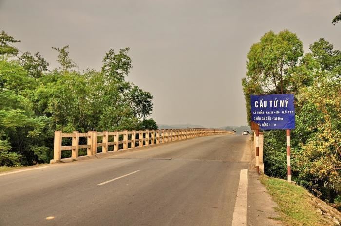
Country Vietnam Capital Hưng Hóa Area 156 km² Province Phu Tho Province | Region Northeast Time zone UTC + 7 (UTC+7) Local time Sunday 9:43 AM | |
 | ||
Weather 18°C, Wind N at 6 km/h, 67% Humidity | ||
Tam Nông, is a rural district of Phú Thọ Province in the Northeast region of Vietnam. As of 2003, the district had a population of 82,370. The district covers an area of 156 km². The district capital lies at Hưng Hóa.
Contents
Map of Tam N%C3%B4ng District, Phu Tho Province, Vietnam
Administrative divisions
Hưng Hóa, Hùng Đô, Quang Húc, Hiền Quan,Thanh Uyên, Tam Cường,Văn Lương, Cổ Tiết, Hương Nộn, Thọ Văn, Dị Nậu, Dậu Dương, Thượng Nông, Hồng Đà, Phương thịnh, Tề Lễ, Tứ Mỹ, Xuân Quang, Hương Nha,Vực Trường.
References
Tam Nông District, Phú Thọ Wikipedia(Text) CC BY-SA
