
County Dickinson FIPS code 20-69925 Area 25 ha Population 99 (2010) Area code 785 | Time zone CST (UTC-6) GNIS feature ID 476481 Elevation 369 m Local time Saturday 8:39 PM | |
 | ||
Weather 6°C, Wind NW at 10 km/h, 96% Humidity | ||
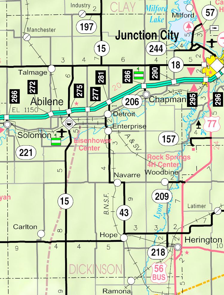
Talmage is a small unincorporated community and census-designated place in Dickinson County, Kansas, United States. As of the 2010 census it had a population of 99.
Contents
Map of Talmage, KS 67482, USA
History
In 1887, Atchison, Topeka and Santa Fe Railway built a branch line from Neva (3 miles west of Strong City) through Talmage to Superior, Nebraska. In 1996, the Atchison, Topeka and Santa Fe Railway merged with Burlington Northern Railroad and renamed to the current BNSF Railway. Most locals still refer to this railroad as the "Santa Fe".
The post office was established December 22, 1887.
Geography
Talmage is located in northwestern Dickinson County, just south of state highway K-18 in the valley of Mud Creek. Via K-18 and K-15, the county seat of Abilene is 11 miles (18 km) to the southeast.
According to the U.S. Census Bureau, Talmage has an area of 0.10 square miles (0.25 km2), all of it land.