
 | ||
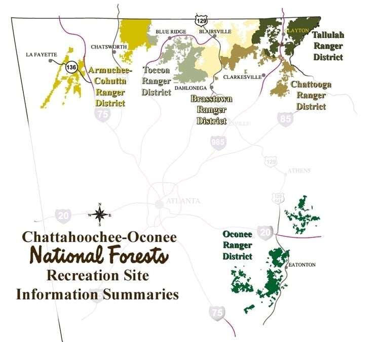
The Tallulah Ranger District is one of the five ranger districts of the Chattahoochee National Forest. The largest portion of the district is located in Rabun County, Georgia, which contains nearly 149,000 acres (600 km2). A portion of the Tallulah Ranger District is also found in Towns County. Both the Appalachian Trail and the Bartram Trail are located in the district.
Contents
Location
The headquarters for the Tallulah Ranger District is currently located in Clayton. However, on March 9, 2006, the District Ranger announced that the Tallulah Ranger District and the Chattooga Ranger District will be combined and a new office will be opened in a central location between Clayton and Clarkesville, Georgia. The location (in Rabun County along U.S. 441, south of Clayton and north of Tallulah Falls) is expected to be completed in phases over a five-year period and will include a new District Office, a work center, and a helibase.
Instrumental in the negotiation of the purchase of the land that is now found in the Tallulah Ranger District was Ranger "Nick" Nicholson. Ranger Nick was the first forest ranger for the district. For his 40 years of service to the United States Forest Service, Ranger "Nick" is honored with the Coleman River Scenic Area, which is located in the district.
Geography
Water features within the boundaries of the district include the Tallulah River and its tributary, the Coleman River, and the Chattooga River. Waterfalls include Angel Falls, Ammons Creek Falls, Becky Branch Falls, Dick's Creek Falls, Holcomb Creek Falls, Martin Creek Falls, Minnehaha Falls, and Panther Falls.
Within the borders of the Tallulah Ranger District are Georgia's 2nd, 3rd and 10th highest peaks (Rabun Bald, Dick's Knob and Double Spring Knob, respectively). A partial list of the highest peaks in the district follows: