Elevation 1,951 m Population 208 (2010) | Time zone MST (UTC-7) Area 150 ha | |
 | ||
Tall Timber is a census-designated place (CDP) in Boulder County, Colorado, United States. The population as of the 2010 Census was 208.
Contents
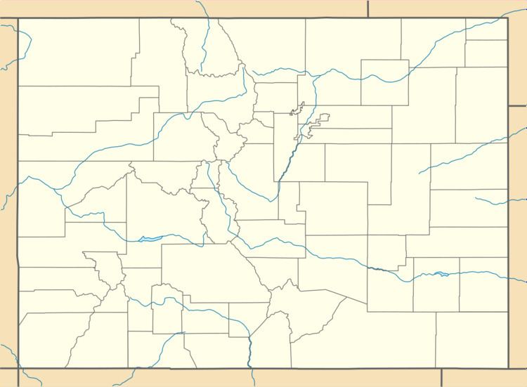
Map of Tall Timber, Colorado 80302, USA
Geography
Tall Timber is located in central Boulder County, in the hills west of the city of Boulder. Sugarloaf Road runs through the center of the CDP, leading south to State Highway 119 (Boulder Canyon Drive) and west to Sugarloaf and eventually the Peak to Peak Highway.
According to the U.S. Census Bureau, the Tall Timber CDP has an area of 0.58 square miles (1.5 km2), all of it land.
References
Tall Timber, Colorado Wikipedia(Text) CC BY-SA
