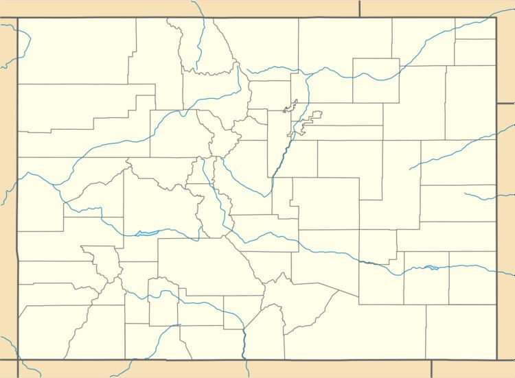
Country United States County Boulder Elevation 2,390 m Population 261 (2010) | State Colorado Time zone MST (UTC-7) Area 5.6 km² Local time Thursday 1:34 PM | |
 | ||
Weather 9°C, Wind W at 18 km/h, 52% Humidity | ||
Sugarloaf is a census-designated place (CDP) in Boulder County, Colorado, United States. The population as of the 2010 Census was 261.
Contents
Map of Sugarloaf, CO 80302, USA
Geography
Sugarloaf is located in south-central Boulder County, approximately halfway between Boulder and Nederland. It is bordered by the Mountain Meadows CDP to the northeast, and North Boulder Creek forms part of the southern edge of the community. Sugarloaf Road is the main route through the CDP.
According to the U.S. Census Bureau, the Sugarloaf CDP has an area of 2.2 square miles (5.6 km2), all of it land.
References
Sugarloaf, Colorado Wikipedia(Text) CC BY-SA
