
Coat of arms Flag Towns 1 Area 1,427 km² | Work settlements 3 Founded 1929 | |
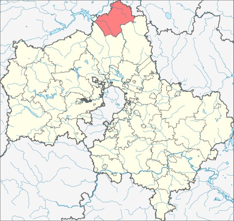 | ||
Taldomsky District (Russian: Та́лодомский райо́н) is an administrative and municipal district (raion), one of the thirty-six in Moscow Oblast, Russia. It is located in the north of the oblast and borders with Tver Oblast in the north, Vladimir Oblast in the northeast, and with Dmitrovsky and Sergiyevo-Posadsky Districts in the south and west. The area of the district is 1,340.52 square kilometers (517.58 sq mi). Its administrative center is the town of Taldom. Population: 48,553 (2010 Census); 46,302 (2002 Census); 52,619 (1989 Census). The population of Taldom accounts for 28.5% of the district's total population.
Contents
Map of Taldomsky District, Moskovsky, Russia
Geography
Average elevation of the district is about 125–150 meters (410–492 ft) above sea level with the highest point of 167 meters (548 ft). Main rivers include the Dubna and the Khotcha; both are right tributaries of the Volga. Moscow Canal which connects the Moskva River with the Volga River forms the western border of the district. Main lakes include Kuznetsovskoye, Salkovskoye, and Zolotaya Veshka, which are located in the north of the district. The district has the second largest reserve of peat in Moscow Oblast.