
Area 8.48 km² | ||
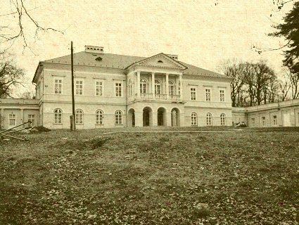 | ||
Tajná is a village and municipality in the Nitra District in western central Slovakia, in the Nitra Region.
Contents
Map of 952 01 Tajn%C3%A1, Slovakia
History
In historical records the village was first mentioned in 1075.
Geography
The village lies at an altitude of 174 metres and covers an area of 8.482km². It has a population of about 288 people.
Ethnicity
The population is about 98% Slovak and 2% Magyar.
References
Tajná Wikipedia(Text) CC BY-SA