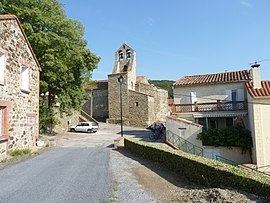
Population (2012) 127 Area 10.02 km² | Region Occitanie Time zone CET (UTC+1) Arrondissement Céret | |
 | ||
Taillet (Catalan: Tellet) is a commune in the Pyrénées-Orientales department in southern France.
Contents
Map of 66400 Taillet, France
As of 2012 the population was 127.
Geography
Taillet is located in the canton of Céret and in the arrondissement of Céret.
The town is at the foot of the eastern end of the Pyrenees mountains, close to the border with the eastern tip of Spain, near the Mediterranean Sea. It mostly has lush forestland, some grazing land for animals and croplands.
References
Taillet Wikipedia(Text) CC BY-SA
