Time zone NZST (UTC+12) Area code 07 | Electorate Coromandel Postcode 3373 Local time Saturday 7:45 PM | |
 | ||
Territorial authority Weather 19°C, Wind NE at 11 km/h, 82% Humidity | ||
Tahuna is a small rural settlement located 18 km north of Morrinsville. In the Māori language Tahuna means sandbank, likely to refer to the sandbanks along the nearby Piako River, where a Māori settlement started. Tahuna is seen as the upper limit for navigatable travel on the Piako River. The settlement has a primary school, rugby club, lawn bowls, golf club and a volunteer fire brigade.
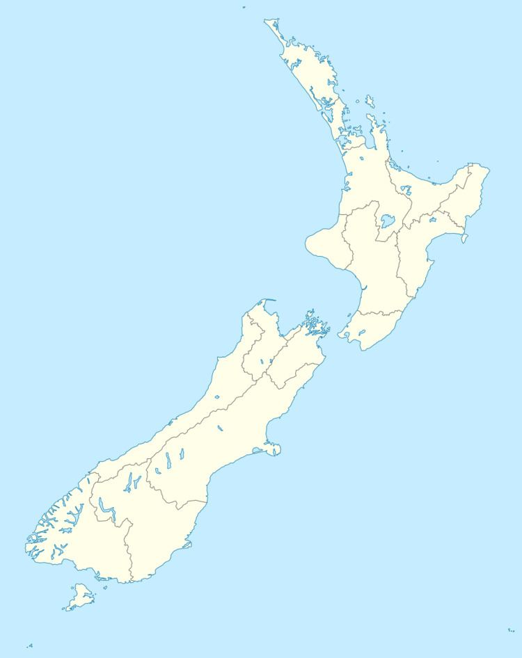
Map of Tahuna 3373, New Zealand
Although Tahuna is in the Matamata-Piako District for local government, its representation in national government is within the Coromandel electorate due the abolition of the Piako electorate for the 2008 election.
References
Tahuna, Waikato Wikipedia(Text) CC BY-SA
