Samiksha Jaiswal (Editor)

Tagudin

Updated on
Edit
Like
Comment
Share on FacebookTweet on TwitterShare on LinkedInShare on Reddit
Country
  
Philippines

District
  
2nd District

Time zone
  
PST (UTC+8)

Area
  
151.2 km²

Province
  
Ilocos Sur

Region
  
Ilocos (Region I)

Barangays
  
43

ZIP code
  
2714

Local time
  
Saturday 1:35 PM

Tagudin wwwdronestagramwpcontentuploads201506G0166

Weather
  
32°C, Wind W at 11 km/h, 61% Humidity

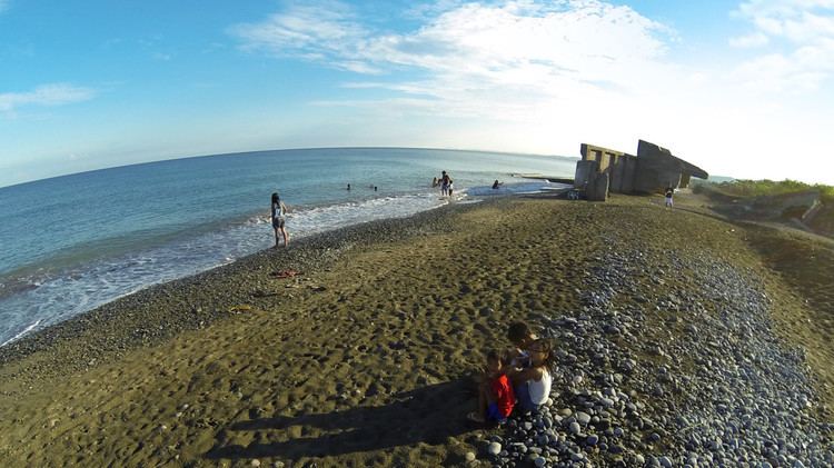
Road trip philippines tagudin ilocos sur


Tagudin is a second class municipality in the province of Ilocos Sur, Philippines. According to the 2015 census, it has a population of 39,277 people.

Contents

Map of Tagudin, Ilocos Sur, Philippines

Army band concert tagudin ilocos sur by donna macopia


Barangays

Tagudin is politically subdivided into 43 barangays.

Etymology

The name of the municipality was derived from a traditional loom called "tagudan." A Spaniard who came to the place asking its name wrote it as its name when told by a resident, who thought that he was asking the name of the cloth-weaving apparatus she's using.

History

  • Records of Saint Augustine’s Parish record that Spanish Conquistadors headed by Juan de Salcedo, together with the Augustinian missionaries started to move northward of Manila in 1574.
  • On 5 January 1586 they founded the first towns of Laoag, Bulatao, Kaog and Tagudin.
  • In 1818 Tagudin became a part of Ilocos Sur and thus the southern gateway to the province.
  • The first sundials were constructed in Tagudin in 1841 by Father Juan Sorolla.
  • The decisive Battle of Bessang Pass started in this municipality, at Bitalag.
  • On 18 August 1908, Tagudin replaced Alilem as the capital of the sub-province of Amburayan, which included Lepanto (that became a sub-province now included in the province of Benguet), Angkaki (now Quirino), Suyo, and Alilem (now with Ilocos Sur), and Sudipen, Santol, and San Gabriel (formerly with Ilocos Sur but became part of La Union).
  • Tagudin was made the site of the Base Hospital of the United States Armed Forces in the Philippines-Northern Luzon (USAFIP-NL) in 1945 during World War II.
  • Tagudin was the site of the military general headquarters of the Philippine Commonwealth Army 1st and 12th Infantry Division and the USAFIP-NL 121st Infantry Regiments. They were stationed in the town and was active during World War II (1942 to 1945) and Post-War Era (1945 to 1946).
  • Demographics

    In the 2015 census, the population of Tagudin was 39,277 people, with a density of 260 inhabitants per square kilometre or 670 inhabitants per square mile.

    References

    Tagudin Wikipedia