
Area code(s) +53-41 Area 518 km² Population 36,365 (2004) | Time zone EST (UTC-5) Elevation 100 m Local time Saturday 1:33 AM | |
 | ||
Weather 20°C, Wind NE at 11 km/h, 85% Humidity | ||
Taguasco ([taˈɣwasko]) is a municipality and town in the Sancti Spíritus Province of Cuba.
Contents
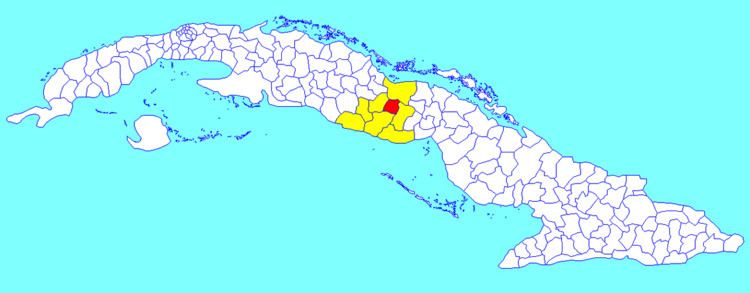
Map of Taguasco, Cuba
Geography
It is located 20 kilometres (12 mi) north-east of Sancti Spiritus, the provincial capital, and is bisected by Carretera Central highway between Cabaiguán and Jatibonico.
Demographics
In 2004, the municipality of Taguasco had a population of 36,365. With a total area of 518 km2 (200 sq mi), it has a population density of 70.2/km2 (182/sq mi).
References
Taguasco Wikipedia(Text) CC BY-SA