
Country Canada Province British Columbia | Area code(s) 250, 778 Local time Friday 10:16 PM | |
 | ||
Weather 3°C, Wind SW at 13 km/h, 94% Humidity | ||
Nelson bc hippie hitchhiker road trip from taghum to baker street in the summer
Taghum, originally Williams Siding, is an unincorporated community and railway point on the north side of the west arm of Kootenay Lake in the West Kootenay region of the southeastern Interior of British Columbia, Canada.
Contents
- Nelson bc hippie hitchhiker road trip from taghum to baker street in the summer
- Map of Taghum BC Canada
- References
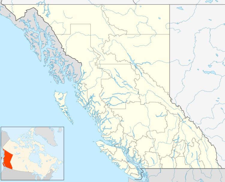
Map of Taghum, BC, Canada
"Taghum" means "six" in the Chinook Jargon and is a reference to the rough distance in mile from the wharf at the city of Nelson, British Columbia.
Taghum was founded by prospector M. Monaghan from Minnesota in 1888, who pre-empted 160 acres (0.65 km2) of land. The Canadian Pacific Railway built a siding at this location. A lumbermill originally located at Lebahdo in the nearby Slocan Valley, owned by John Bell and A.G. Lambert, was moved here by 1909.
References
Taghum Wikipedia(Text) CC BY-SA