
Country United States County Saint Louis Time zone Central (CST) (UTC-6) Elevation 408 m | State Minnesota ZIP codes 55803 Local time Friday 11:15 PM | |
 | ||
Weather 1°C, Wind E at 18 km/h, 93% Humidity | ||
Taft is an unincorporated community in Grand Lake Township, Saint Louis County, Minnesota, United States.
Contents
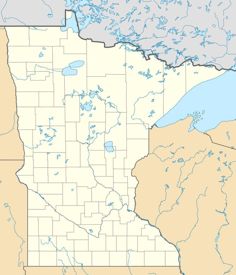
Map of Taft, MN 55803, USA
The community is located 24 miles northwest of the city of Duluth at the junction of Saint Louis County Road 15 (Munger Shaw Road) and Saint Louis County Road 48 (Taft Road).
Taft is located within the Cloquet Valley State Forest in Saint Louis County. Fredenberg Township is also in the area.
History
The community of Taft is named after former American President William Howard Taft, who was in office from 1909 to 1913.
Taft was once a water stop for trains traveling along the former Northeastern Railway in Saint Louis County.
Although buildings such as the Depot, old schoolhouse, and railroad crew section house are no longer around; their imprints can still be seen.
Just opposite of the Ush-kab-wan River from Taft, was the community of Crysler, which no longer exists.