
3-digit postal code prefix 910 | Time zone WAT (UTC+1) Area 222 km² | |
 | ||
Alh sir abubakar tafawa balewa official visit to usa in july 25 28 1961
Tafa is a Local Government Area in Niger State, Nigeria, adjoining the Federal Capital Territory. Its headquarters are in the town of Wuse.
Contents
- Alh sir abubakar tafawa balewa official visit to usa in july 25 28 1961
- Map of Tafa Nigeria
- References
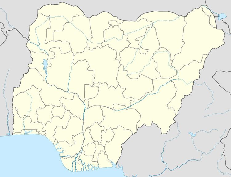
Map of Tafa, Nigeria
It has an area of 222 km² and a population of 83,544 at the 2006 census.
The postal code of the area is 910.
References
Tafa Wikipedia(Text) CC BY-SA