
Population 541 (2011 census) Civil parish Tadmarton Area 8.38 km² | OS grid reference SP3937 Sovereign state United Kingdom Dialling code 01295 | |
 | ||
Tadmarton heath golf club banbury oxfordshire
Tadmarton is a village and civil parish about 4 miles (6.4 km) west of Banbury, Oxfordshire, the residents' population of which increased by 26% between 2001 and 2011.
Contents
Map of Tadmarton, UK
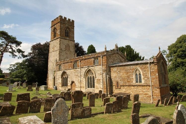
The Church of England parish church of Saint Nicholas is early Norman. The building was enlarged and the bell tower added in the 13th century. The church is a Grade I listed building.
The tower has a ring of six bells. Four were originally cast early in the 17th century, but two of these were re-cast in 1923 and 1939. A fifth bell was added in 1761 and the treble was added in 1947.
The manor house has a 15th-century barn, believed to have been built for Abingdon Abbey.
Tadmarton has one public house, the Lampet Arms.
References
Tadmarton Wikipedia(Text) CC BY-SA