
District Anantapur Time zone IST (UTC+5:30) Elevation 302 m Local time Saturday 7:36 AM | Talukas Tadimarri PIN 515631 Population 31,731 (2001) Area code 08559 | |
 | ||
Weather 27°C, Wind SW at 11 km/h, 42% Humidity | ||
Tadimarri is a village and a mandal in Anantapur district in the state of Andhra Pradesh in India.
Contents
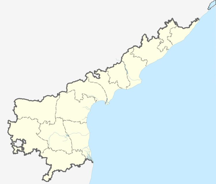
Map of Tadimarri, Andhra Pradesh 515631
A well known saint from this village was Srinavasa Brahmatantra Parakala Swami, who was the reigning pontiff (1835–1860) of the Parakala Mutt in Mysore.
Geography
Tadimarri is located at 14.5667°N 77.8667°E / 14.5667; 77.8667. It has an average elevation of 302 metres (994 ft).
Demographics
According to Indian census, 2001, the demographic details of Tadimarri mandal is as follows:
References
Tadimarri Wikipedia(Text) CC BY-SA