
Country United States County Cook Area code(s) 218 Elevation 211 m | State Minnesota Time zone Central (CST) (UTC-6) GNIS feature ID 658592 Local time Friday 7:38 PM | |
 | ||
Weather 2°C, Wind SE at 5 km/h, 98% Humidity | ||
Taconite Harbor is an unincorporated community in Schroeder Township, Cook County, Minnesota, United States.
Contents
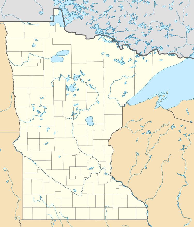
Map of Taconite Harbor, MN 55613, USA
The community is located on the North Shore of Lake Superior.
Taconite Harbor is located 33 miles southwest of the city of Grand Marais; and 51 miles northeast of the city of Two Harbors.
Minnesota Highway 61 serves as a main route in the community.
The community of Schroeder is immediately northeast of Taconite Harbor.
Development
Currently, Taconite Harbor consists of a power plant, foundations and an abandoned basketball court. As of 2009, the Minnesota Power Company is looking towards development on an area that they own, but do not need. This development may include a sewer system, various commercial businesses centered on a village square, paved parking lots, and a City Hall (which would then make Taconite Harbor an incorporated city). The community is also expected to be a major stop along the Gitchi-Gami State Trail.