
Admin. region Oberbayern Elevation 478 m (1,568 ft) Area 26.76 km² Population 1,932 (31 Dec 2008) Dialling code 08681 | District Traunstein Time zone CET/CEST (UTC+1/+2) Local time Saturday 12:45 AM Postal code 83373 | |
 | ||
Weather 7°C, Wind NE at 8 km/h, 85% Humidity | ||
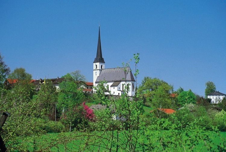
Taching am See is a municipality in the district of Traunstein in Bavaria, Germany. The municipality lies to the west and northwest of the Tachinger See (Lake Taching).
Contents
Map of Taching am See, Germany
Among the small villages in rural Taching am See are: Assing, Buchberg, Grendach, Gröben, Haunerting, Hörgassing, Hucking, Mauerham, Moosmühle, Obertaching, Planthal, Salling, Schönhofen and Tettenberg.
History
In 1048, Henry VI of Bavaria gave these lands to the Roman Catholic Church. In the deed of donation is the first historical mention of the Tachinger See. Beginning in 1275, Taching am See belonged to the Prince-Archbishopric of Salzburg and the town was the site of district administration (Obmannschaft). When the Salzburg lands were secularized in 1803, Taching am See became the property of Ferdinand III of Tuscany. In 1805 in the Treaty of Pressburg it became part of Austria. In 1809 it was transferred to the Kingdom of Bavaria. Taching am See became an independent municipality in 1818, but in 1972 became part of the county (Verwaltungsgemeinschaft) of Waging am See. In the 20th Century, the municipality developed into a recuperation and vacation locale.