
Admin. region Oberbayern Elevation 473 m (1,552 ft) Area 50.24 km² Population 5,537 (31 Dec 2008) | District Traunstein Time zone CET/CEST (UTC+1/+2) Local time Saturday 12:23 AM Administrative region Upper Bavaria | |
 | ||
Weather 6°C, Wind E at 14 km/h, 84% Humidity | ||
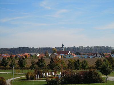
Tacherting is a municipality in the north of the district of Traunstein in Bavaria, Germany.
Contents
Map of Tacherting, Germany
History
The area of the municipality of Tacherting has a long history. Ground finds (hill graves) of the New Stone era, and of the late Bronze Age are occupied among other things. Likewise completely proven continuous settling during the Roman time, when the area of the province Noricum was belonging to the Roman world realm. Extensive archaeological excavations at the beginning of the 19th century occupy this part of local history.
Subdivisions
The municipality of Tacherting consists of 108 districts:
Economy
The biggest company in the municipality is the Linde AG with round about 800 employees. The second biggest company in Tacherting is a part of Evonik Industries. In Tacherting are also a lot of medium-sized businesses.