
Area 1,265 km² | ||
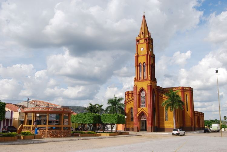 | ||
Tacaratu is a municipality in the state of Pernambuco, Brazil. The population in 2009, according with IBGE is 22,231 and the area is 1264.5 km².
Contents
Map of Tacaratu - State of Pernambuco, Brazil
Geography
The municipality contains part of the 625 hectares (1,540 acres) Serra Negra Biological Reserve, a strictly protected conservation unit created in 1982.
Economy
The main economic activities in Tacaratu are based in general industry, commerce and agribusiness, especially creation of cattle, goats and sheeps; and plantations of mangoes and beans.
Economic Indicators
Economy by Sector 2006
References
Tacaratu Wikipedia(Text) CC BY-SA