
Country Thailand Time zone ICT (UTC+7) Area 642.3 km² Geocode 2703 | Seat Ta Phraya Postal code 27180 Province Sa Kaeo Province | |
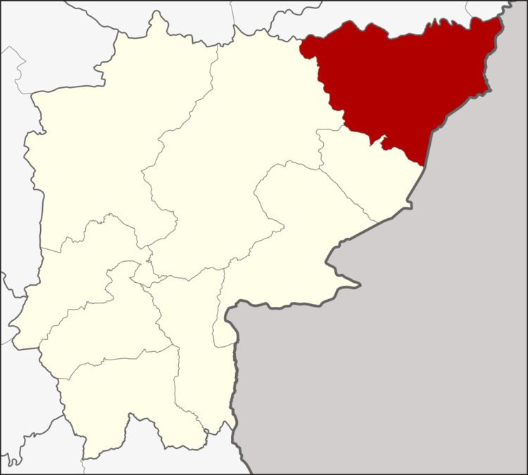 | ||
Ta Phraya (Thai: ตาพระยา) is the northeasternmost district (amphoe) of Sa Kaeo Province, eastern Thailand.
Contents
Map of Ta Phraya District, Sa Kaeo 27180, Thailand
History
The area was originally dense forest in Aranyaprathet District. Later people moved to there for agricultural work. When the community grew bigger, the government created Ta Phraya minor district (king amphoe) in 1959. It was upgraded to a full district in 1963.
This district gives its name to Ta Phraya National Park.
Geography
Neighboring districts are (from the south clockwise) Khok Sung, Watthana Nakhon of Sa Kaeo Province, Non Din Daeng and Lahan Sai of Buriram Province. To the east is Banteay Meanchey Province of Cambodia.
The Sankamphaeng Range mountainous area is in the northern section of this district.
Administration
The district is divided into five sub-districts (tambon), which are further subdivided into 61 villages (muban). Ta Phraya is a township (thesaban tambon) and covers parts of the tambon Ta Phraya. There are further five tambon administrative organizations (TAO).
Missing numbers are tambon which now form Khok Sung District.