
Population 16,694 (30 Sep 2016) | Area 422.7 km² Local time Tuesday 7:22 AM | |
 | ||
Time zone Japan Standard Time (UTC+9) City hall address 58-9 Shirakabacho, Tobetsu, Hokkaido061-0292 Weather 0°C, Wind SE at 3 km/h, 71% Humidity University | ||
Tōbetsu (当別町, Tōbetsu-chō) is a town located in Ishikari District, Ishikari, Hokkaido, Japan.
Contents
- Map of Tobetsu Ishikari District Hokkaido Prefecture Japan
- Geography
- History
- Sister cities
- University
- High schools
- Transportation
- Notable people from Tbetsu
- References
Map of Tobetsu, Ishikari District, Hokkaido Prefecture, Japan
As of 2016, the town has an estimated population of 16,694 and a density of 39 persons per km². The total area is 422.71 km².
Geography
Located on the north part of Ishikari Subprefecture of Hokkaido, the shape of the municipality is elongated north to south. It overlaps with the catchment area of the Tōbetsu river approximately. Tōbetsu means 'river from marsh' in Ainu language and in Japanese it is called 'Tōbetsu Gawa (river)'. Low mountains occupy the northern area of the municipality. The southern area is a part of the Ishikari Plains.
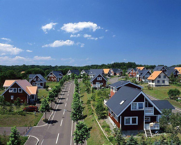
Sapporo, the largest city of Hokkaido, lies on southwest of Tōbetsu. The large river of Ishikari divided Tōbetsu from Sapporo until 1934, when the Sasshō Line railroad connected the two cities. Several more bridges built in the latter half of 20th century have further reduced the traffic obstacle. Tōbetsu has produced rice and recently flowers. Residential buildings are increasing modestly because of its better access to Sapporo.