
Admin. region Oberbayern Elevation 599 m (1,965 ft) Area 15.95 km² Local time Monday 11:47 PM Dialling code 08193 | Time zone CET/CEST (UTC+1/+2) Population 3,633 (31 Dec 2008) Postal code 82299 | |
 | ||
Weather 7°C, Wind E at 3 km/h, 52% Humidity | ||
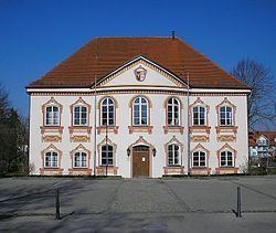
Türkenfeld (German literally: “Turkfield”) is a municipality in the district of Fürstenfeldbruck in Bavaria in Germany.
Contents
Map of 82299 T%C3%BCrkenfeld, Germany
Geography
Türkenfeld is located about 14 km south-west of Fürstenfeldbruck and 37 km west of Munich. The municipality has incorporated the communities of Burgholz, Klotzau, Türkenfeld, Peutenmühle, Pleitmannswang, and Zankenhausen.
History
The first evidence of settlement is a burial place dating from Neolithic. In the area of Türkenfeld one can also find several Tumuli from about 1500 BC.
The first written reference is in the Breves Notatiae of 749 as "Duringveld".
During World War II, a subcamp of Dachau concentration camp was built in the town, though it was never put into operation due to construction failures.
Infrastructure
Public facilities in Türkenfeld comprise a kindergarten, a primary school, and a Hauptschule as well as a natatorium. There are also several restaurants in the town.
Türkenfeld is connected to Munich S-Bahn Line S4.