
Country Vietnam Capital Phú Mỹ Area 338 km² Local time Tuesday 2:54 AM | Region South East Time zone UTC + 7 (UTC+7) Province Ba Ria–Vung Tau Province | |
 | ||
Weather 26°C, Wind E at 11 km/h, 73% Humidity | ||
C nh b o b t c c tr em t i huy n t n th nh b r a v ng t u
Tân Thành is a rural district of Bà Rịa–Vũng Tàu Province in the southeast region of Vietnam. As of 2003 the district had a population of 101,559. The district covers an area of 338 km².
Contents
- C nh b o b t c c tr em t i huy n t n th nh b r a v ng t u
- Map of TC3A2n ThC3A0nh Ba Ria Vung Tau Vietnam
- Ph m t n th nh b r a v ng t u happy new year 2014
- Administrative divisions
- References
Map of T%C3%A2n Th%C3%A0nh, Ba Ria - Vung Tau, Vietnam
The district seat is Phú Mỹ town. Tân Thành is a highly industrialized district with several industrial parks. Tân Thành is home to deep water ports replacing Saigon Port when the latter has been relocated here. Phú Mỹ Power Plant Complex with total capacity of 4,000 MW contributes nearly 35% of Vietnam's total electricity.
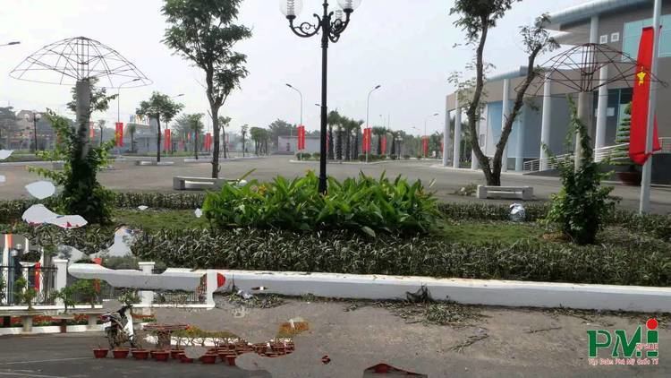
Ph m t n th nh b r a v ng t u happy new year 2014
Administrative divisions
The district is divided administratively into 1 township, the capital Phú Mỹ and 9 communes:
References
Tân Thành District Wikipedia(Text) CC BY-SA